Peebles, Scottish Borders

William Buchan’s
trek into the Himalayas in
September 1911


The map provides an indication of the
route of William’s 18-day trek into Sikkim
and to Kangchenjunga starting from
Darjeeling using the placenames
attached to the photographs in his album.
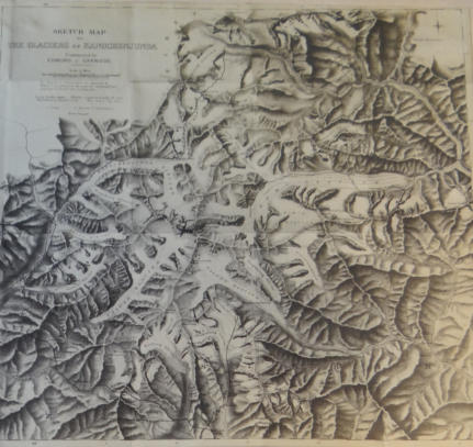
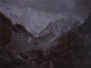
A simple plan of the Glaciers in the region around
Kangchenjunga
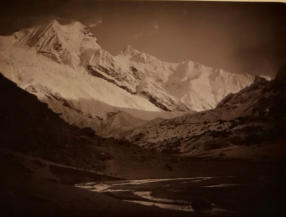
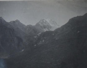
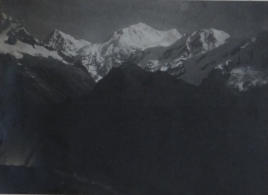
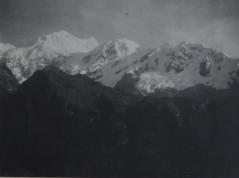
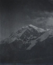
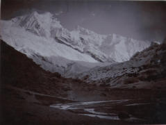
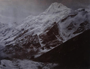
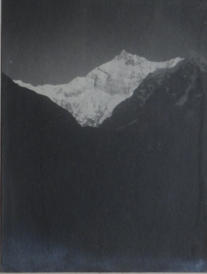
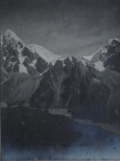
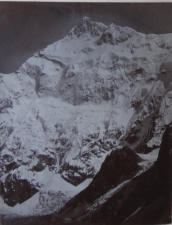
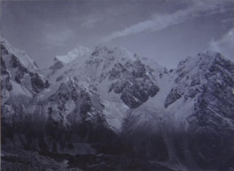
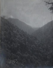
A view of Kangchenjunga
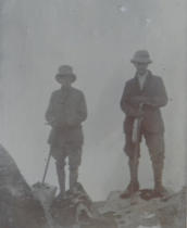
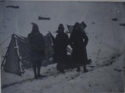
William Buchan and a group of friends
undertook a trek from Darjeeling
north to the glaciers to the south-east of
Kangchenjunga with the aid of local
coolis (porters).
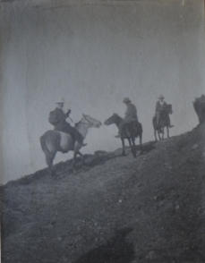
They went on foot or by pony
where this was feasible.
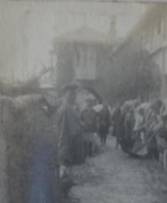
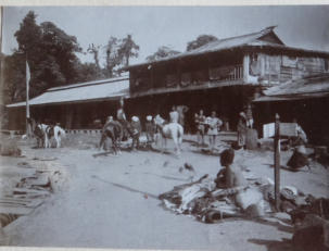
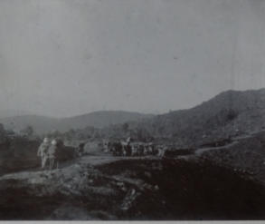
The start in Darjeeling
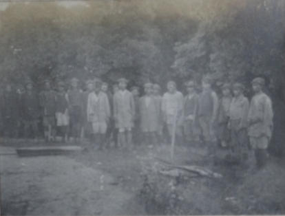
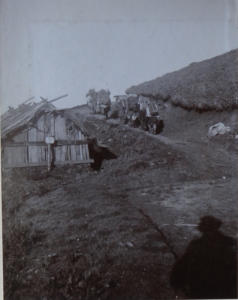
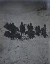
The Coolis employed to carry the food and tents and to set up camps
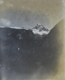
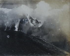
The Kangchenjunga
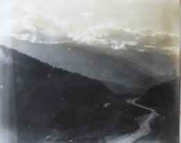
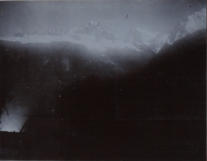
range from Ghoom
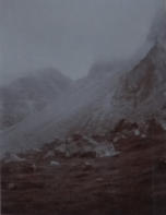
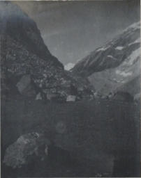
Simani Basti (no tents required)
Kingchinjunga from Tonglu
now spelt Kangchenjunga
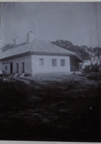
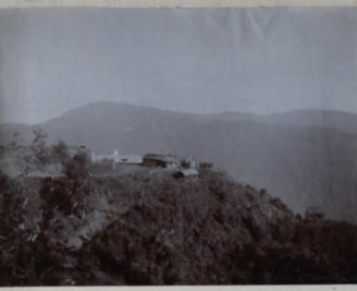
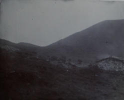
Taylor’s Bungalow
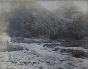
On the road between Tonglu and Sandakhphu
On the road between Tonglu and Sandakhphu
On the road (track) between Tonglu and Sandakhphu

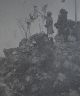
Kalipokhri Nepalese boundary post
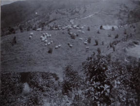
A nomadic shepherd and his flock
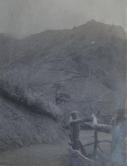
Zig zag up to Sandakhphu
Leaving Phallut - the last bungalow and with the last of our ponies
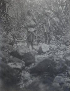
Coolis saying prayers at a Singalila shrine
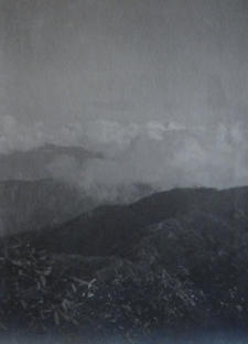
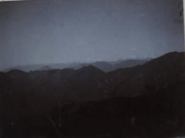
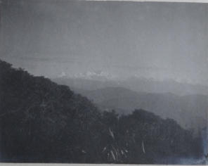
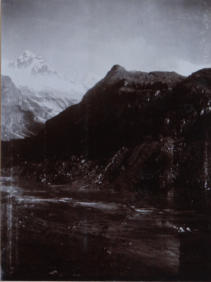
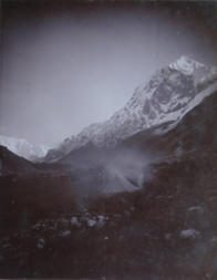
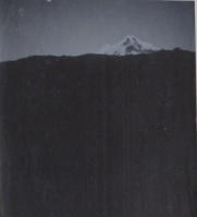
A distant view of Kinchinjunga
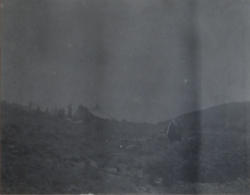
Above Chuabhanjan - the last shepherd’s hut
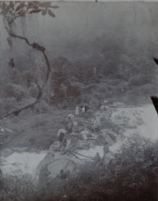
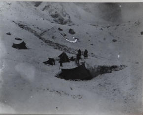
Breaking camp at our first camping ground -
Niatang
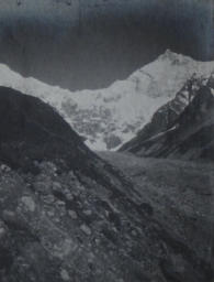
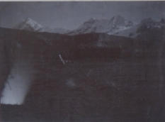
Everest range from Niatang
Minguthang (within Nepal border) - our
second camping ground
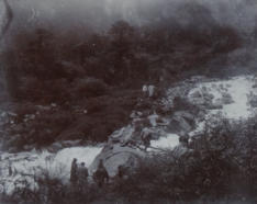
Gamothang - our third camping ground
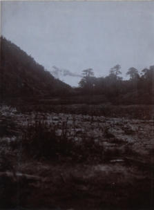
From Gamothang
At Bhokta - the mistake which resulted in us taking the wrong direction
Bhokta
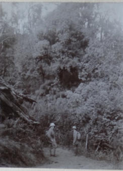
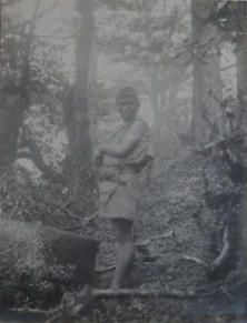
Lost - cutting a path through forest
Our deliverer - a Nepali wild animal hunter
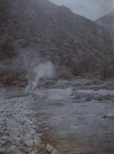
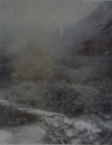
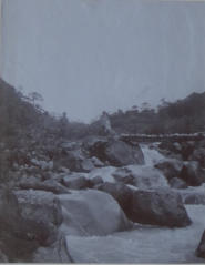
From the waterfall in the nameless valley
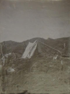
Camp No. 5 in the nameless valley
View from Camp No.5
Looking down on the nameless valley campsite
The Kangla taken from the ridge between the Chumbab
La and the nameless valley
Views of the Kubra ridge from the south of the nameless valley - the Kubra, the “Dave” and the “Faked” peaks
The peaks leading up to the Kabru
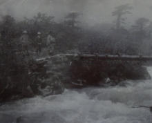
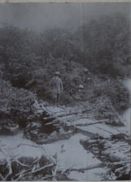
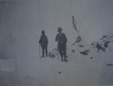
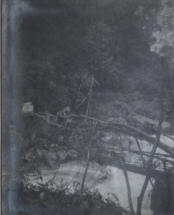
Bridge over Chummy Chuu with
Cullis, WHB and Matu
Glimpse of the Chummy Chuu
cascades
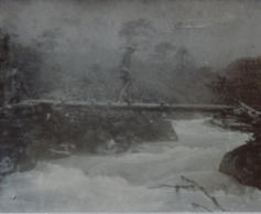
Savi on the bridge
Cullis on the bridge

Tangri
Coolis crossing bridge over Praig Chuu
Coolis crossing bridge over
Praig Chuu
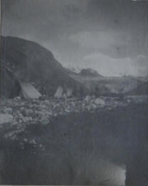
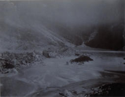
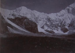
Campsite just below the snout of the
Alukthang Glacier
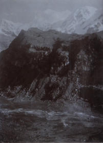
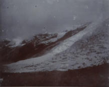
Alukthang Glacier
Pandim from just below Alukthang
Pandim
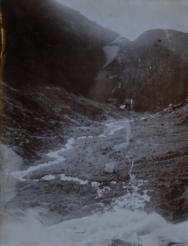
Tarn beneath morass of Alukthang Glacier
View from higher up
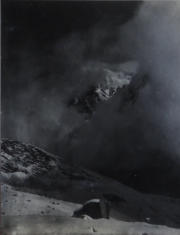
Chemathang from below Giucha La


The Upper Giucha La
The lower Giucha La
Peak of the Kinchin from first
camp in Talun Valley
Pandim from the Talun side of the Giucha
Peak of Kinchin from the first camp
in the Talun Valley
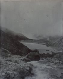
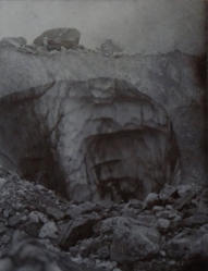
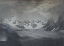
Ice cave in the Talung Glacier
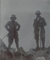
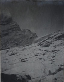
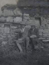
H T Cullis and WHB at the highest point
we reached on the Tongshyong spur -
about 17,000 feet
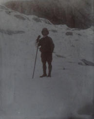
V G Savi
Tongshyong Spur
H T Cullis and WHB
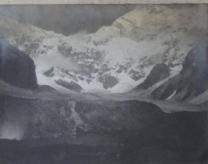
Kinchin ahead of Talung Glacier from lower Giucha La
Talung Glacier and Kinchin
The Kabru peaks through Giucha La
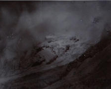
Cloud gaps
Glaciers
Named as “Clique” a peak at the top of the Talung Glacier.
The peaks adjacent to Kanchenjunga no longer
appear to have separate names
Clique and Kinchen
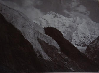
Kangchenjunga from the Talung Glacier

Zemu Gap and Simvoo
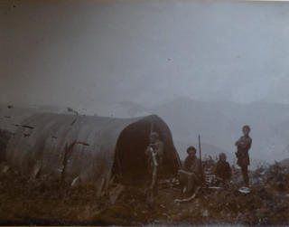
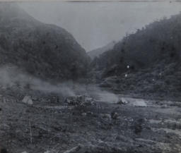
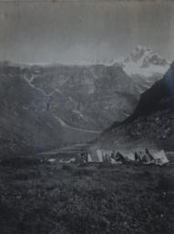
Second camp in the Talung Valley after the snow storm
Second camp in the Talung Valley after the
snow storm
Second camp in the Talung Valley after the
snow storm
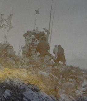
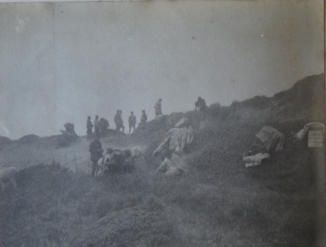
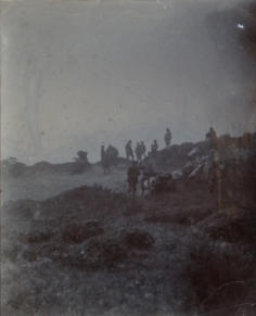
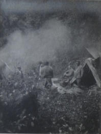
Coolis watching some grouse shooting
Beginning of homeward march -
approaching Giucha La
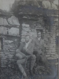
Cullis and Martin on the Giucha La
The cloud gap
for the Giucha
Pandim and adjacent peak from Tang Si
Bridge over Prek Chu
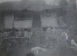
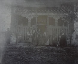
The Kazi’s house at Yoksum
(now Yuksom)
Much better camp at junction of the
Prek Chu and the Rathong
Bridge over river junction
First glimpse of outskirts
of civilization at Yoksum
Lamas of the Dubdi Monastery above Yoksum
Cullis and WHB at a Maui (small
store) at Pemionchi
Cullis and Savi at the same site
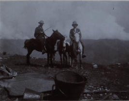
On ponies again - Cullis and WHB at
Rinchinpung
Setting foot on British Territory
again on Darjeeling side of Bridge
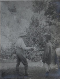
Cullis handing our pass to policeman at
the frontier